York Bl east of Figueroa, as seen prior to installation of bike lanes in 2014
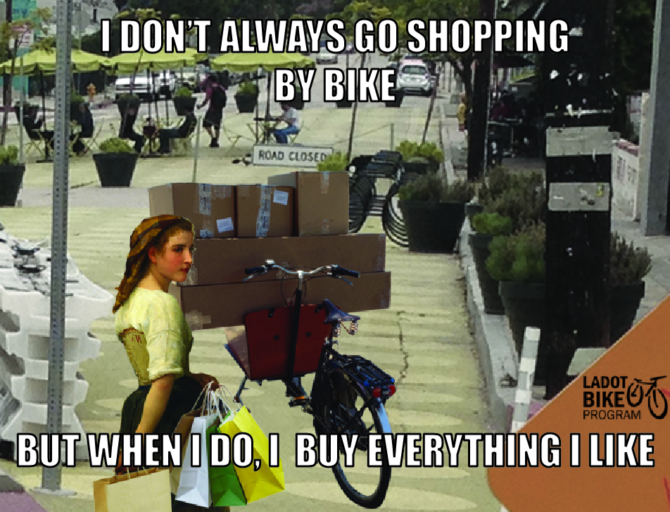
In the Bicycle Program, part of our job is to make streets safer and more pleasant for bicycling. We realize that as more and more Angelenos are riding their bikes to get around, there may be more opportunities for conflicts between modes on our streets. Some, if not most, conflicts can be partially addressed by engineering and planning, but part of equation remains in individual motorist or bicyclist behavior.
Regardless of what causes the conflicts on our roadways, it is helpful to analyze available collision data to inform us where there is room for improvement, whether it is behavioral or infrastructural. Two years ago, we took a look at collision data on York Boulevard and found that overall crashes decreased 23% between Eagle Rock Boulevard and Avenue 55 after a road diet was implemented on that segment of the street. In this post we will take a follow-up look at the updated data, and get into the details of who has been identified in the data as “at fault” and the causation of bicycle-car collisions. The data we are looking at analyzes the 3.9 mile long segment of York Boulevard between Aguilar Street and Arroyo Verde Road over a 12 year period.
If one wants to look at crash data anywhere in California, the primary repository is the SWITRS database: the Statewide Integrated Traffic Records System. All reported collision data is gathered by the California Highway Patrol (CHP) and made available for query. CHP collects data from local jurisdictions (in our case, LAPD) and adds it to the statewide database, and all data is made available through the California Public Records Act, which requires all records processed by State government to be publicly accessible. Normally, the data lags about 2 years, but SWITRS remains the most comprehensive data tool available to perform collision analysis over time.
Collision data in California are pared down to manageable categories, which makes it great to track overarching trends, but leaves much to be desired in terms of understanding conditions of collisions and nuances of behavior (two of the most important aspects of planning for safer road configuration and design). In the data, there is always a party determined to be “at fault” and a short list of causes, known as the “collision factor.” A cursory glance at the raw data would make anyone’s head spin: ROW Ped, Party 1 at fault. What does that MEAN? While it may seem confusing initially, SWITRS has a codebook that elaborates on what such terms mean. ROW is an abbreviation for “right-of-way,” and Ped is short for “pedestrian.” What ROW Ped refers to is when someone fails to yield right-of-way to pedestrians or other legal sidewalk users, such as people bicycling. Even terms like “Party 1 at fault” can be intuitive with a little context. Every traffic collision typically involves at least two “parties” and differentiating the people involved entails calling the various parties involved Party 1, Party 2, etc.
In this analysis, we attempt to decode this data. Though, notoriously, car-bicycle collisions that do not result in a “Killed” or “Severely Injured” person are not reported (which always presents a significant data challenge), we will try to interpret a better understanding of what is really at work in the history of car-bicycle conflicts, with York Boulevard as our case-study.
The Overall Picture
Between 2001 and 2012, there were 39 collisions on York Boulevard involving both people driving and bicycling (SWITRS). Those driving were deemed “at fault” approximately 56.4% of the time, accounting for 22 of the collisions that occurred. Meanwhile, people bicycling were “at fault” in 41% of the collisions, deemed responsible for 16 of the collisions that occurred. In one case, the stated collision cause was “other improper driver,” placing neither party involved – the person bicycling nor the one driving – “at fault” (which accounts for the remaining 2.6%) (more…)